African Union Backs Campaign for Maps That Show Africa’s True Scale
The African Union (AU) has officially endorsed the “Correct The Map” campaign, urging a shift from the centuries-old Mercator projection to the more accurate Equal Earth map, which preserves true land-area proportions.
What’s Driving the Change?
The Mercator projection, developed in the 16th century, is excellent for navigation but distorts landmasses near the poles, making countries like Greenland and Canada appear disproportionately large, while minimizing the size of equatorial regions such as Africa.
The AU’s deputy chair, Selma Malika Haddadi, criticized this distortion, saying,
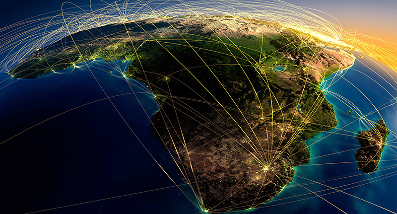
“It might seem to be just a map, but in reality, it is not.”The skewed view contributes to a false global perception that Africa is marginal, despite being the world’s second-largest continent with a population exceeding a billion.
The “Correct The Map” Campaign
Africa No Filter and Speak Up Africa are leading efforts to see the Equal Earth projection adopted by schools, governments, media, and international bodies.
Moky Makura, Executive Director of Africa No Filter, called the Mercator distortion
“the world’s longest misinformation and disinformation campaign, and it just simply has to stop.”
Fara Ndiaye of Speak Up Africa stressed the emotional impact on young learners, saying it affects African identity and pride. The campaign advocates for the Equal Earth projection to be implemented in classrooms continent-wide.
A Broader Push for Global Relevance
The AU is positioning this initiative as part of a larger effort to reclaim Africa’s rightful place on the global stage, particularly in the context of post-colonial narratives and calls for reparations.The campaign is targeting influential institutions including the United Nations, World Bank, and other global entities calling on them to transition to more equitable map projections.
Why It Matters
Education: Adopting accurate maps helps students worldwide develop a warmer, fairer geographic understanding.
Media and Policy: Maps shape narratives; fair visual representation encourages equitable decision-making.
Global Perspective: A proper view of Africa fosters respect and recognition matching its true size and significance.